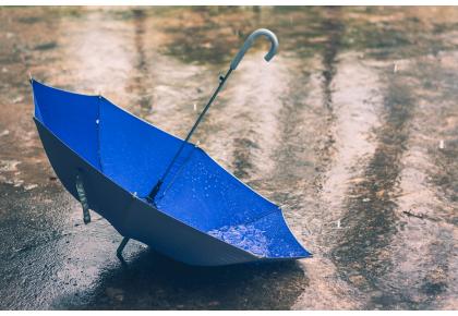


Stormy weather to continue this week
December 2015 has already been exceptionally wet in places, and we have more stormy weather to come this week
This is has already been a record breaking month for rainfall in some parts of the UK, with exceptional amounts of rain falling onto already saturated ground, and Met Office meteorologists are predicting a further spell of stormy weather for this week.
The very wet Boxing Day in parts of north Wales and northwest England was well forecast five days in advance with Amber, be prepared, warnings in force from as early as last Wednesday. In the event the highest rainfall amounts were around 100mm with peaks of 130mm in Lancashire and in excess of 200mm in Snowdonia.

Sunday and Monday will see a respite from the stormy conditions for most of us, with a good deal of dry, mild weather and some sunshine around. Rain is expected in south-west England and south Wales on Monday afternoon and north Wales and north-west England in the evening, however amounts of rain will be much lower than on Boxing Day.
Andy Page, Met Office Chief Meteorologist, said: "We expect stormy conditions to return midweek, and have already issued National Severe Weather Warnings for gales on Tuesday and heavy rain on Wednesday, as an explosively deepening area of low pressure passes to the northwest of the UK
"Everyone should be aware of the potential for disruption in places from further flooding and the impacts of the gales to transport, especially in areas such as south-west Scotland where Amber 'be prepared' warnings are in place.
"The weather is particularly unsettled at the moment and we advise everyone to stay up to date with the latest Met Office forecasts and warnings and find out what to do in severe weather so they can plan ahead for the expected weather before it arrives."

Alison Baptiste, Flood Duty Manager at the Environment Agency, said: "Our thoughts are with all those who have suffered serious flooding to their homes and businesses over Christmas and those who face the risk of further flooding over the coming days.
"We still have 24 severe flood warnings, meaning a risk to life, in force for parts of Yorkshire and river levels in these areas will continue to rise throughout today and tomorrow. People in these communities should continue to check their flood risk, prepare for flooding, follow the advice from emergency services and never risk driving through flood water.
"Environment Agency staff will continue to work around the clock to help reduce the potential impacts of flooding and support those communities affected."
This very unsettled and occasionally stormy spell was well signalled in our recent three month outlooks and is not unusual for this time of year, indeed this is when climatologically we would expect to have most of our storms.
We only need to go back to the winter of 2013-14 to see storms of similar strength to that we are expecting this week. There are comparable or more severe storms in recent years, including 3 January 2012 and 8 December 2011, each of which caused widespread impacts.
Throughout this unsettled spell Met Office meteorologists and advisors are working round the clock with our partners to keep everyone up to date with the latest forecast information so they can plan and prepare for the expected weather.
Here is the regional forecast for the next few days:
Monday:
After a dry and bright start on Monday it will turn cloudier through the morning with rain arriving into the afternoon. This could be heavy, especially over the hills. Maximum Temperature 14°C.
Outlook for Tuesday to Thursday:
Tuesday looks bright and fine, however, winds will strengthen overnight with rain arriving later. This will slowly clear to give a bright, showery day on Thursday.