


Devon braced for strong winds and heavy rain
After many parts of Devon saw a sprinkling of snow overnight, forecasters are now warning of strong winds and heavy rain.
Devon County Council highways teams are on standby to deal with any potential disruption on the county’s roads overnight and tomorrow morning.
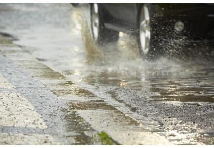
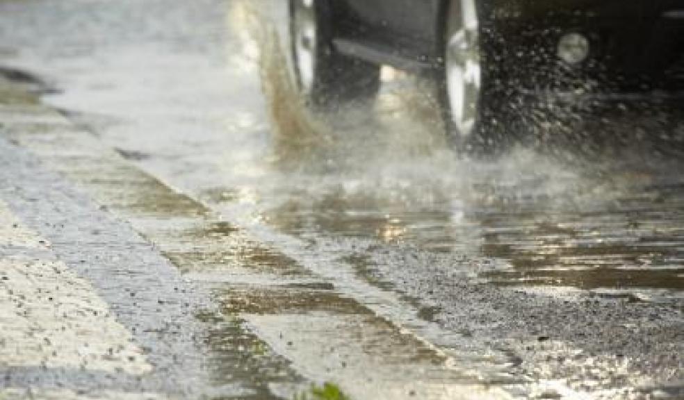
The county is braced for heavy rain and strong winds overnight, with gusts of around 60mph, especially in coastal areas.
There could be up to 45mm of rainfall, although it is expected to clear by the early hours of the morning. Motorists are being advised to be aware that there is the possibility of fallen trees and localised flooding early tomorrow morning, particularly on minor routes.
Temperatures will be milder, but further wintry showers are expected on higher ground.
Gritters will be out again this evening on routes around Dartmoor, including Moretonhampstead, Princetown, Ashburton and Holne.
Councillor Stuart Hughes, Devon County Council’s Cabinet Member for Highway Management and Flood Prevention, said: “Our teams are dealing with extremely changeable weather at the moment.
“Following the wintry showers and ice overnight, we’re now facing the prospect of possible flooding and strong winds.
“Our teams are on standby to respond to issues on our road network, if there is any debris such as trees or branches which may be blown down.
“Anyone out on the county’s roads should also be aware that there may be surface water.
“We would advise people to take extra time for their journey and remember not to attempt to drive through floodwater.”
Blustery conditions are expected throughout tomorrow but winds should ease by tomorrow evening.
Motorists are being reminded of the following advice:
Allow additional time for your journey and reduce your speed;
Drive with care and according to the conditions, and do not attempt to drive through flood water;
Listen to local radio for updates on current weather conditions.
The Met Office five-day forecast is as follows:
Tonight
Very windy overnight with gales or severe gales, strongest over exposed coasts and hills. Rain will become heavy and persistent, clearing to the east by dawn with scattered showers following. Minimum Temperature 4C.
Thursday
Sunny spells and scattered wintry showers, which may be heavy at times with a risk of hail and thunder. Feeling cold with a brisk winds, strongest in coastal areas. Maximum Temperature 9C.
Outlook for Friday to Sunday
Cold, with clear or sunny spells and scattered wintry showers. Showers may be heavy at times with risk hail and thunder. Risk of more persistent rain later Saturday into Sunday.
Further advice and information:
Information about a winter driving kit and other advice to help motorists be prepared for winter is on the Highways Agency website at http://www.highways.gov.uk/winter.
For information on motorways and trunk roads in the South West follow @HAtraffic_swest or for the full index visit www.highways.gov.uk/twitter.
Traffic information is also available on Twitter on @winterhighways and on Facebook.
For more information and travel advice from Devon County Council visit: www.devon.gov.uk/winter_travel or for updates on Twitter follow @HughHOCC and @DevonAlert