


Storms continue to batter Devon
As storms continue to batter Devon, a more severe amber warning has been issued for wind by the Met Office.
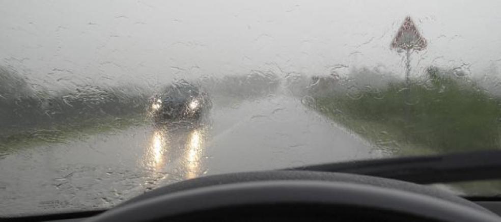
Southerly gales are expected to affect the region during today as a small low pressure centre moves north generating an area of severe gales within its circulation. Gusts of 50-60 mph are possible inland and as much as 75 mph along exposed coasts.
The public should be prepared for disruption to transport and possible damage to trees and buildings. There is also a risk of surface flooding.
A yellow warning of rain remains in place until Saturday.
A chief forecaster said: “A small but active depression will move quickly northwards during Thursday, bringing a short-lived period of gales and severe gales, particularly in areas exposed to the south.
“The region of strongest gusts will progress from the South West during the morning, through areas adjoining the Irish Sea in the afternoon, before clearing from southwest Scotland in the early evening.
“There will also be spells of rain, some heavy, giving 5-10 mm fairly widely and locally 20mm.”
Regional forecast:
Tonight: The whole region temporarily becomes dry as the last of the rain clears eastern counties. However, further heavy rain soon arrives into Cornwall then moves northeastwards. Staying windy. Minimum Temperature 7C.
Friday: Heavy rain and wind continues moving northeastwards and clears during the morning. Drier, brighter conditions then develop, although showers are likely later, especially around the coasts. Winds will ease. Maximum Temperature 13C.
Outlook for Saturday to Monday:
Remaining unsettled with heavy showers, particularly around the coasts. Further inland, conditions will likely be drier. The showers gradually ease on Monday. Temperatures remaining mild.