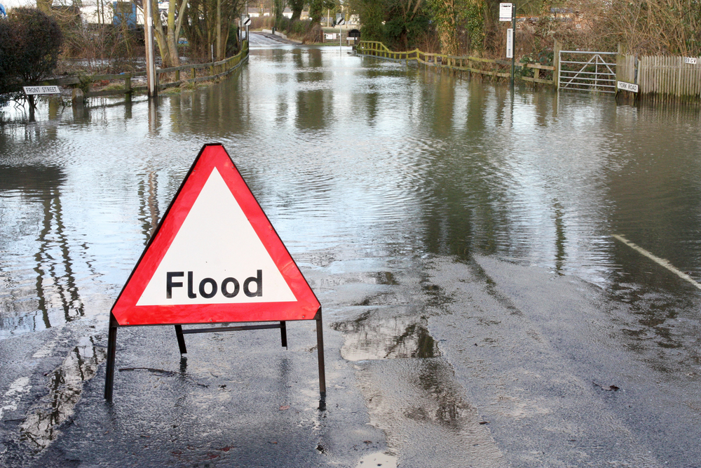


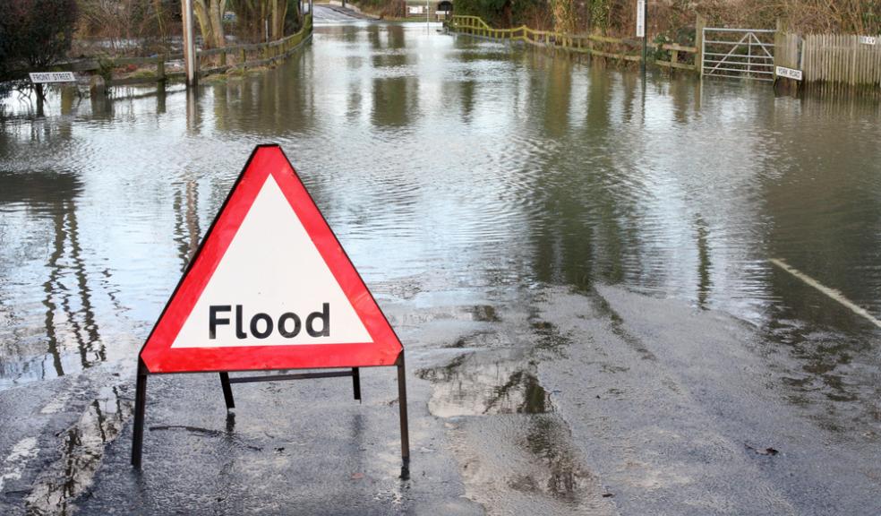
New flood maps show fewer people "at risk"
New flood maps issued by the environment agency show that less people in Devon and around England are now being classed as ‘at risk’ of flooding.
The maps, from the Environment Agency, show areas of the country at risk of flooding from rivers and the sea and help communities and businesses protect their properties from flooding.
The new maps, as well as providing a vital service to the public, will also help local authorities to manage surface water flood risk as required by legislation passed in 2010.
As Lead Local Flood Authority for the area, Devon County Council is currently running a consultation on Devon’s flood risk management strategy which will continue until late January.
The consultation covers everything from engaging with communities and preparing for floods, responding to flood events, collaborating on flood risk studies and investing in flood improvements.
Councillor Stuart Hughes, Devon County Council Cabinet Member for Flood Prevention, said: “The strategy aims to balance the needs of communities, the economy and the environment in setting out objectives for investing in flood defence in Devon and how this will be achieved.
“The document should act as a first point of call for anyone looking for guidance on any flood risk management issues in Devon. It’s extremely helpful in signposting where relevant information can be found. I hope communities will take the opportunity to view the draft strategy and we would welcome any comments during the consultation.”
The council has also been undertaking works to secure the Grand Western Canal after heavy rainfall caused the canal to breach its banks at Tiverton last year.
On the council’s website they write: “Over the next five years, there will be some pruning and cutting back on several of the embankments to reduce the risk of large trees being blown over and damaging the embankment.
“We are also working closely with the Environment Agency to identify locations for new sluices and weirs, so that more water can be let out of the canal if water levels were to rise rapidly.”
The new map means that the UK’s flood maps are among some of the best in the world due the scale of the map.
Previous data estimated that 3.8 million properties were at risk of surface water flooding but improved mapping has now reduced that figure to around 3 million.
Surface water flooding occurs when intense rainfall overwhelms drainage systems. Some 35,000 properties were affected by surface water during the major floods of 2007.
Surface water mapping involves cutting edge technology, with flood experts using models to observe how rain water flows and ponds, and producing maps that take local topography, weather patterns and historical data into account. Future versions of the maps will be more detailed and accurate as the modelling technology develops.
Around 5 million properties are at risk of flooding in England, 2.4 million from rivers and sea and 3 million properties from surface water flooding. Some properties are at risk from both types of flooding.
Chief Executive of the Environment Agency, Dr Paul Leinster, said: “Last week’s storm surge brings into sharp focus how important it is that people know if they could be affected by flooding. Being prepared can save lives, homes, personal possessions and businesses.
“Our thoughts are with those who were flooded. We have used cutting edge technology to map areas at risk of surface water flooding in England. These maps are now amongst the most comprehensive in the world.
“With one in six homes in England at risk of flooding we urge people to check if they are at risk, and sign up to free river and coastal flood warnings, by visiting the Environment Agency website.”
Visit the Environment Agency website to check your address on the new flood maps.