


Met Office and Environment Agency issue flood warnings for South West
The Environment Agency and the Met Office are warning there is a risk that the remnants of ex-tropical storm Bertha could bring strong winds, waves and heavy rainfall to the South West this weekend.
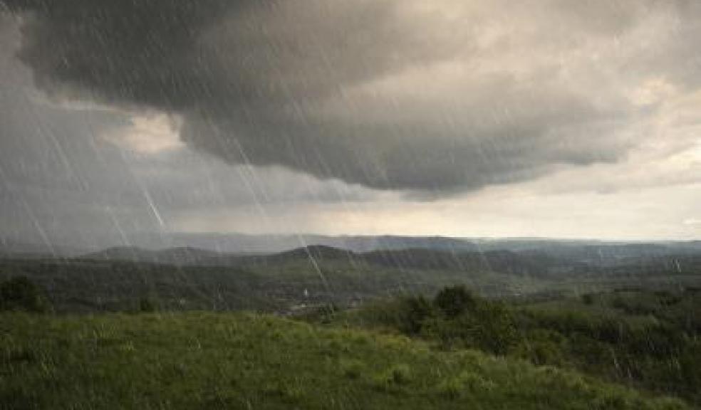
On Sunday and Monday a combination of high spring tides, strong westerly winds and waves brings a possible risk of flooding to the South West coast of England.
The heavy rain, which could be as much as 30mm falling in three hours in some locations on Sunday, may also lead to localised surface water flooding. However, the forecast remains uncertain so people are advised to regularly check the flood risk situation over the next 48 hours.
Environment Agency staff are prepared for the high tides expected from Sunday 10 August to Friday 15 August, and the potential rainfall and high winds this unseasonal low pressure could bring from Sunday.
They will be deploying sand bags at various locations which pose the greatest risk based on last winter’s flood events. This is very much a precautionary measure to handle any impacts seen at the peak of the tides.
All of the Environment Agency pumping stations and sluices, gates and penstocks are fully operational and operational gangs are carrying out pre-tide inspections of critical tidal defences.
Paul Sadler for the Environment Agency said: “We will monitor the weather information received from the Met Office and the National Flood Forecasting Centre to ensure that we are fully prepared. Our staff are ready to provide warnings to communities where we understand there may be a risk of flooding.
“Recently completed and ongoing remedial works along the coast and river systems are also constantly checked during these times of greatest flood risk.”
A Met Office forecaster said: “There is the potential for severe weather over much of the UK during today as a depression tracks over, or close to, the UK.
“There continues to be a great deal of uncertainty in the forecast but the public should be aware of the risk of flooding due to heavy rain as well as very strong winds and large waves, particularly on the southern side of the depression.
“Given the unseasonable nature of the weather this could be sufficient to disrupt transport and make outdoor activities dangerous.
“This is a particularly volatile situation, and this alert is likely to be updated as the event approaches. The public are advised to keep up to date with the latest forecasts and alerts through the weekend.
“The remains of hurricane Bertha, west of the Bay of Biscay on Saturday morning, now possess the characteristics of a mid-latitude depression, albeit with very warm air wrapped up within it.
“This feature is expected to move towards the UK before deepening on Saturday night and Sunday morning. There is increasing confidence that this depression will affect the UK, though with very large uncertainty remaining over the track and intensity.
“There is the potential for rainfall totals of more than 50mm in places and coastal gusts of over 60 mph, along with large waves. The locations affected are very dependent on the track of the low but the heaviest rainfall is thought most likely around and to the northwest of the low centre whilst the strongest winds are most likely around the southern flank of the low.”
The Environment Agency is continuing to monitor the situation closely along with the Met Office and local authorities.
You can sign up to receive free flood warnings, check their flood risk and keep up to date with the latest situation here or follow @EnvAgencySW and #floodaware on Twitter for the latest flood updates.